


The Touristic Info Halkidiki informs - Hiking on Halkidiki -
Amouliani - Amouliani Island round-hiking
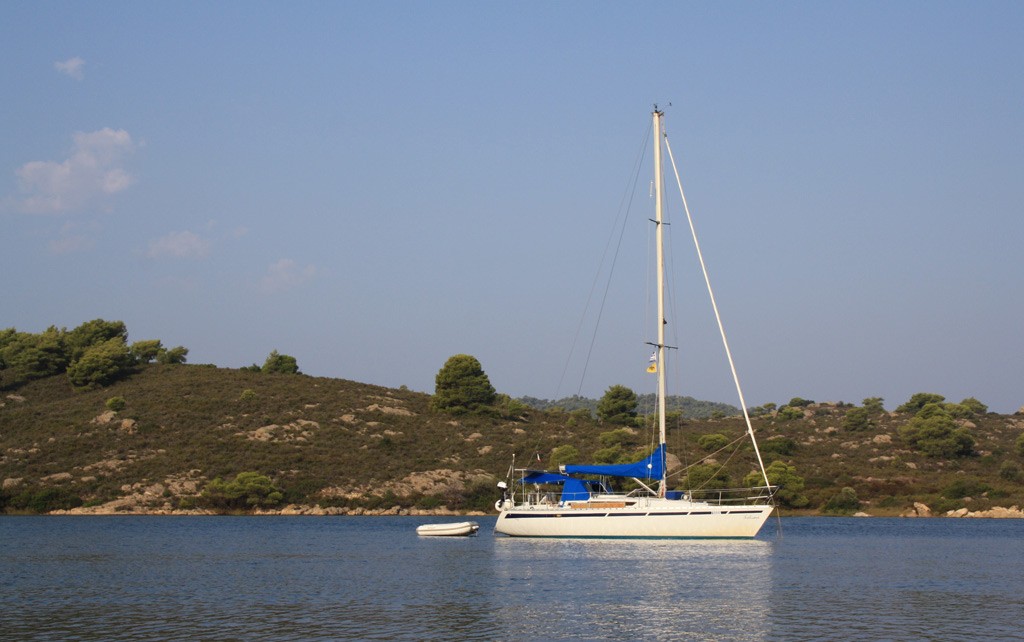
Ammouliani island lies off the eastern coast of the coast of the Athos peninsula at the northern end of the gulf of Agio Oros. It is inhabited and there is a regular ferryboat service between the island and Trypiti at the northern end of the peninsula.
There is ample parking at Trypiti and one can cross as a foot passenger for a nominal amount (160 CRD or 32p in 1999). The route is mainly an easy walk along unmade farm access roads with about 1km of more difficult scrub and tree-covered hillside, in order to reach a fine cliff top viewpoint. The time required is about 2 hours.
With a population of about 400, this is the only inhabited island on Halkidiki. There are traces of a settlement here since Classical Greek times. Later this group of Islands became part of the lands of one of the Mt. Athos monasteries. After 1922 refugees from Asia Minor settled here. The people on the island are mainly fisherman or merchant seamen.
The route
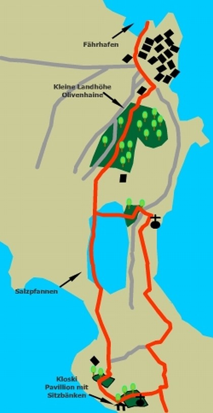
The way marker that points south up the main street of the village. In 150m or so a supermarket is passed as the street curves round to the southeast. 250m further on look for a Mega supermarket on the right. Turn right here and follow the street that leads southwest, past a brightly painted primary school. In 300m or so the road becomes a track and passes through a builders yard containing stockpiles of various building materials. In the next 500m or so the track passes through a variety of smallholdings with chickens, turkeys, pigs, goats etc. running free amongst the olives or housed in ramshackle pens. Eventually the track arrives at a large but shallow salt-water lake, previously used to obtain salt by evaporation of seawater (salt pans), and runs along its perimeter. At the end of the lake the path goes over a small rise to arrive at a junction. Turn left here and follow the track, which leads towards the hill directly in front. The sea is over to the right. Follow the track up the hill to reach a group of buildings Standing prominently on the hillside, but don't forget to look back and enjoy the marvellous view to the rear. Continue past the houses on your right as the track descends the other side of the rise to arrive in 50m or so at a point where a small track leads off to the left and upwards. Here you can make a decision. If your footwear is adequate for climbing up a wooded hillside then continue on down the track. If not then you can take this left turn and it will rejoin the route later, but will avoid the climb to the viewpoint mentioned in the introduction to the walk.
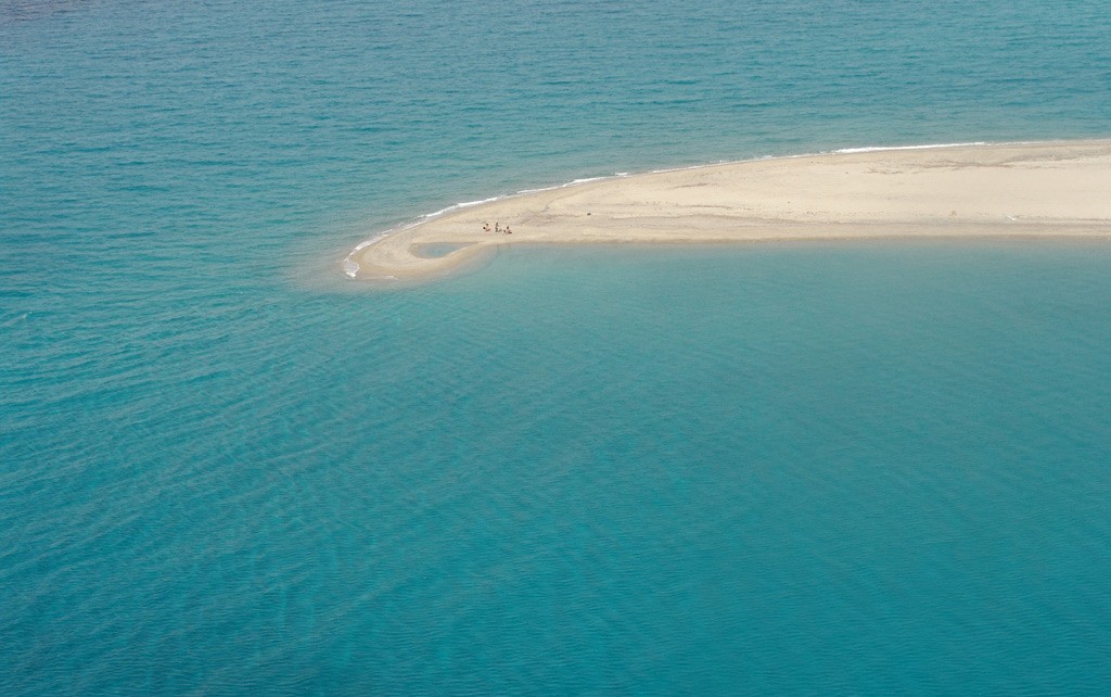
The route now crosses a stream by a ford and curves west to climb the hill. In 200m the sandy road bears left and ascends to an open area with a wooden pavilion, table and chairs, perched on the edge of the cliff. This is a good place for refreshment and to enjoy the view, but a more spectacular viewpoint awaits us ahead. Suitably refreshed cross the road into the olive grove (look for the way marker) and walk east, looking for a small white church, about 100m into the grove on the right side. The path passes to the left of the church over an old dry stonewall and threads its way through the undergrowth, over another wall, to reach a more open area and a path junction in another 100m. The main route continues straight on, but it is well worth turning right here to follow the goat track that leads to the prominent rock face about 50m to the right. From here there are beautiful views of the island and coast in most directions. Returning from this viewpoint to the path junction, continue northeast for a further 50m (look for red markers on the stones) to arrive at a stony outcrop. Carefully descend from here onto the old track a few metres below, which contours down the hillside and curves right to keep to the ridge. To the left a broad scrub and rock covered slope descends to a small stone outcrop, which is just above another track, leading to the beach. Look for the red marks on the rocks and descend this slope to the north, whilst enjoying the panoramic view in front of the north end of the island. At the bottom of the slope turn right onto the track, which is the continuation of the route suggested as a bypass for this difficult section. On reaching the beach turn left onto the unsurfaced road and continue north. The road bears right as it climbs a slope with a church at its highest point. It then swings left to meet a tarmac road. Cross the road diagonally and turn left down a track to black gates. Just before the gates turn right into the olive grove (look for the way marker signs). Cross the grove to emerge onto the saltpans seen on the outward journey. Cross the northern edge of the salt lake to rejoin the outward route and retrace your steps, past all the farm animals, to the ferry.
Service
All Hiking Tours can be printed out in the office of the Holidays and more tourist info in Psakoudia. If you want to use a navigation device to support the hikes, please contact us one day in advance at the office of the Holidays and more tourist info. You will then receive your Desired issue, a navigation device to your personal walk for a small fee.
We wish you have fun when you walk through the beautiful Chalkidiki!

Your rental car in Halkidiki
From the airport Thessaloniki, Hotel, Apartment and Studio in whole Chalkidiki. No credit card needed. Fast, easy and safe. For 3 days only from 63.- € !