


The Touristic Info Halkidiki informs - Hiking on Halkidiki -
Sithonia - Porto Carras - Vineyards
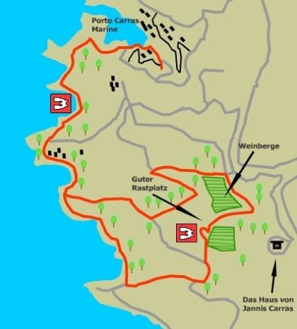
This walk from Porto Carras takes us up into the vineyards high above the Neos Marmaras, giving fine views over the sea. The return path drops to the coast, and meanders through open forest passing several beautiful sandy coves, with fine beaches, along the way.
This walk visits the vineyards of Porto Carras below, the large house high on the hill, which looks out over the bay. It was built by the late Yiannis Carras, who had a dream to bring tourism to Halkidiki. Yiannis, who was educated in America , the holiday resort of Porto Carras, the first such venture in Halkidiki. This development was very important as it brought large-scale tourism to Halkidiki for the first time.
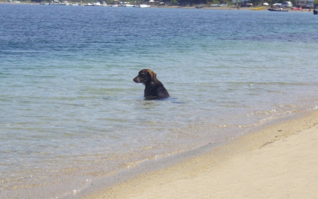
The Vegetation along the tracks on this walk is particularly varied. Many wild flowering and fruiting bushes are to be found, considerably adding to the interest of the route.
The route
The Start is reached by taking the road that bears round to the left of the Marina. Look for the sign Marina Village Inn. The Meliton Hotel can be seen over to the right. The road ends with a roundabout in an open area with parking space.
From the car park walk eastwards between buildings towards the Marina, in about 300m you will pass the Gina Bachauer House on your right. The path skirts round to the left of the Marina, passing through a grove of trees, and going past the Oasis cafe. The track now climbs and turns to the left at its highest point to descend and curve round a small cove with a sandy beach.
This meandering progress continues in a southerly direction round several more fine coves until at the brow of a small hill, a Porto Carras fire warning notice here marks the forest track, which leads off to the right of another track. The route now descends the hill with fine sea views to the right. In 200m a sharp turn left reveals another fine cove below and to the right. Pass by a metal barrier across the road here and continue along the route for 100m as it climbs and curves round to the left. Look for the way marker on the left side of the road, which marks the small track leading up the slope in a southwesterly direction.
In 100m the track turns left into a field. Turn right and continue upwards across the field in an easterly direction to meet a track again, which leads northeast. The large house can be seen directly ahead, perched on its ledge, high above the trees. The path carries on for another 300m in the same direction to arrive at its highest point, adjacent to a tarmac road on the left. Here we must cross onto the road (there is no other way), in order to go round the deep gorge to the left and reach the slopes on the far side. The road descends, to the northeast with fine Vegetation on the right and an impressive gorge to the left.
In 400m, it swings sharp left around the neck of the gorge, passing a single Saeulan Cupressus, standing sentinel at the second corner of the bend. The road climbs gently east and in about 250m look for the way marker sign on the right. This marks the continuation of the path, which climbs the hillside, in an easterly direction, an about turn of nearly 180 degrees. A steep climb of 200m, with vines on the slope to our right, brings us to crossroads.
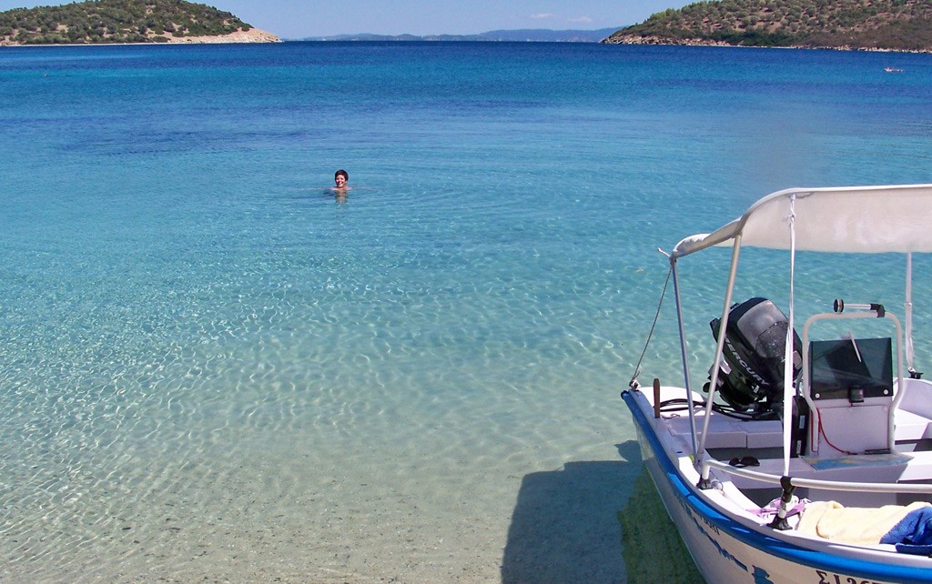
Turn right here and cross above the vineyard to the other side of the valley. The track first descends, then rises to a viewpoint, then descends again, before rising again to another viewpoint, directly below the house on the hill above. There are vineyards to the left and in front of us here, with expansive views in all directions. To descend retrace your steps for a few metres and take the track which curves to the left and drops down through the vineyard. Walk down the right hand side of the plantation to reach the road about 250m below. Join this road, which leads southeast initially but eventually curves round to the west. There are (fine views and varied plant and animal life all along this descent, which joins a tarmac road after 750m or so. Bear left onto the road and follow it down for 300m, until it bends sharply to the left as it reaches the coast. Look for the way marker which indicates the path (o (he right; through the trees onto a gated forest road. The path now follows this road as it meanders through the forest, always staying near to the coast and passing several small coves with (fine beaches along the way. After 500m or so look for the grove of mandarin orange trees on your right. Further on, to the right, there are olive groves and a fire water tower. There is also a lovely tree shaded beach, signed: For the resident* of Porto Carras only. The concrete wharf across the small bay here is actually a helicopter-landing pad. The track eventually arrives back at the blue fire warning notice. From here we must retrace our Steps the final two kilometres back to Porto Carras.
Service
All Hiking Tours can be printed out in the office of the Holidays and more tourist info in Psakoudia. If you want to use a navigation device to support the hikes, please contact us one day in advance at the office of the Holidays and more tourist info. You will then receive your Desired issue, a navigation device to your personal walk for a small fee.
We wish you have fun when you walk through the beautiful Chalkidiki!

Your rental car in Halkidiki
From the airport Thessaloniki, Hotel, Apartment and Studio in whole Chalkidiki. No credit card needed. Fast, easy and safe. For 3 days only from 63.- € !